Two districts sharing one river: Lower Dibang Valley (Roing, Dambuk) in the foothills, and Dibang Valley district (Anini and beyond) in the high mountains. Dibang Valley district is India's largest by area and emptiest by population — fewer than one person per square kilometre. Together they make one of the last genuinely wild corners of the country.

Eastern Arunachal Pradesh
Regional guide
India's emptiest frontier
Dibang Valleyone river, two worlds
India's largest district and its emptiest — a foothill world of orange orchards and ferry-town memory below, a high world of cloud passes and silent plateaus above. This is the whole map, in one place.
- km² — India's largest district
- 9,129
- person per km²
- < 1
- Mayodia Pass
- 2,655 m
- Best window
- Oct–Apr
The valley, chapter by chapter
Six places, one river
Dibang isn't a single destination — it's a sequence. These are its chapters, arranged the way you'll actually travel them: low to high, easy to wild.

01 · The high plateau
Anini
The quietest district headquarters in India, at 1,970 m. Clouds below, ridges above, and a night sky with no competition.
235 km from Roing · via Mayodia Pass

02 · Orange country
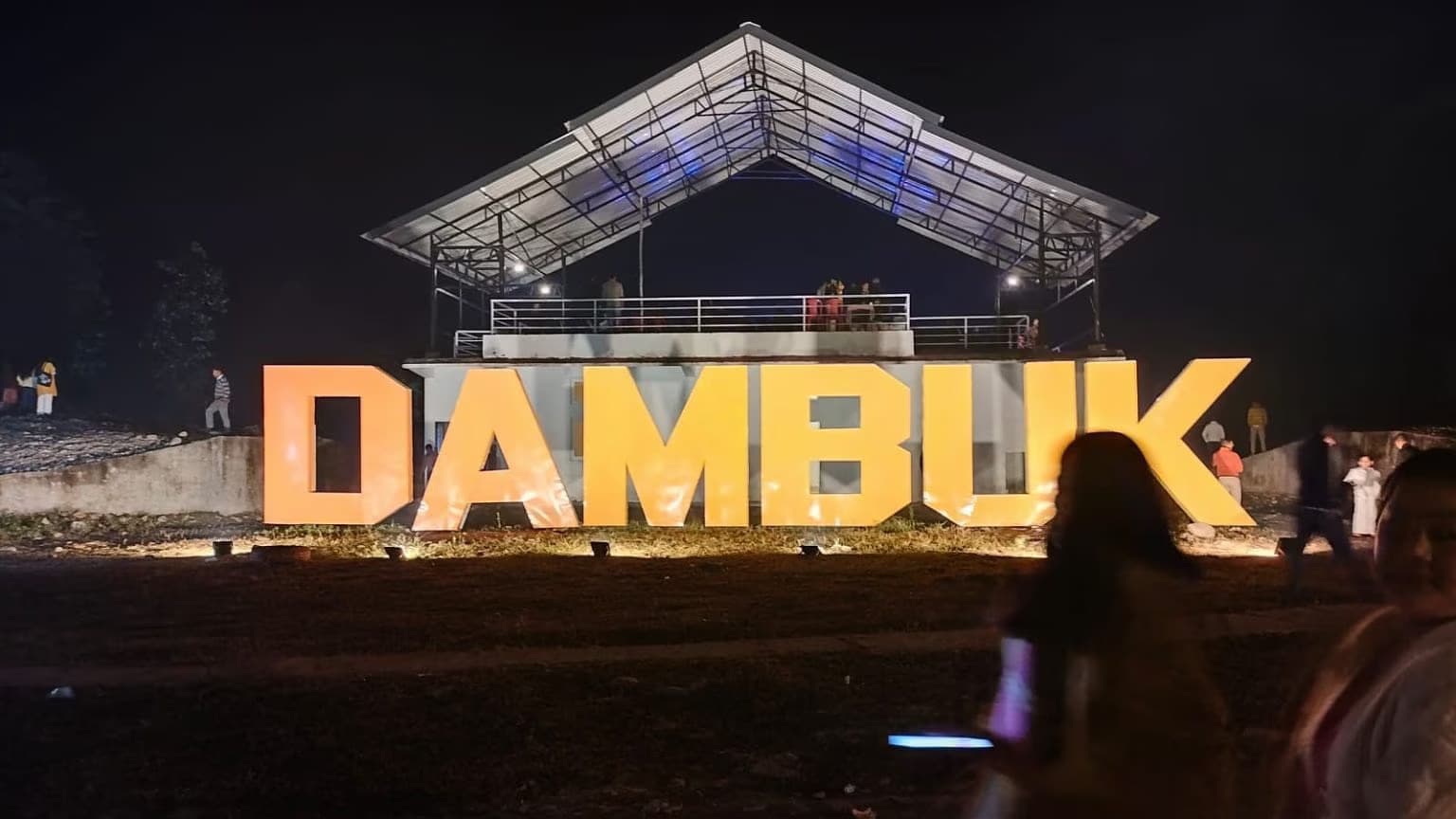
Dambuk
Riverside orchards on the Dibang's banks. Harvest season turns the whole town into a citrus market under golden light.
Lower Dibang · Nov–Jan harvest

03 · The gateway
Roing
Last fuel, last full network, first checkpoint. Every Dibang journey starts here — and the best ones linger a day.
NH-313 begins · lake, falls, forest
04 · The cloud pass
Mayodia
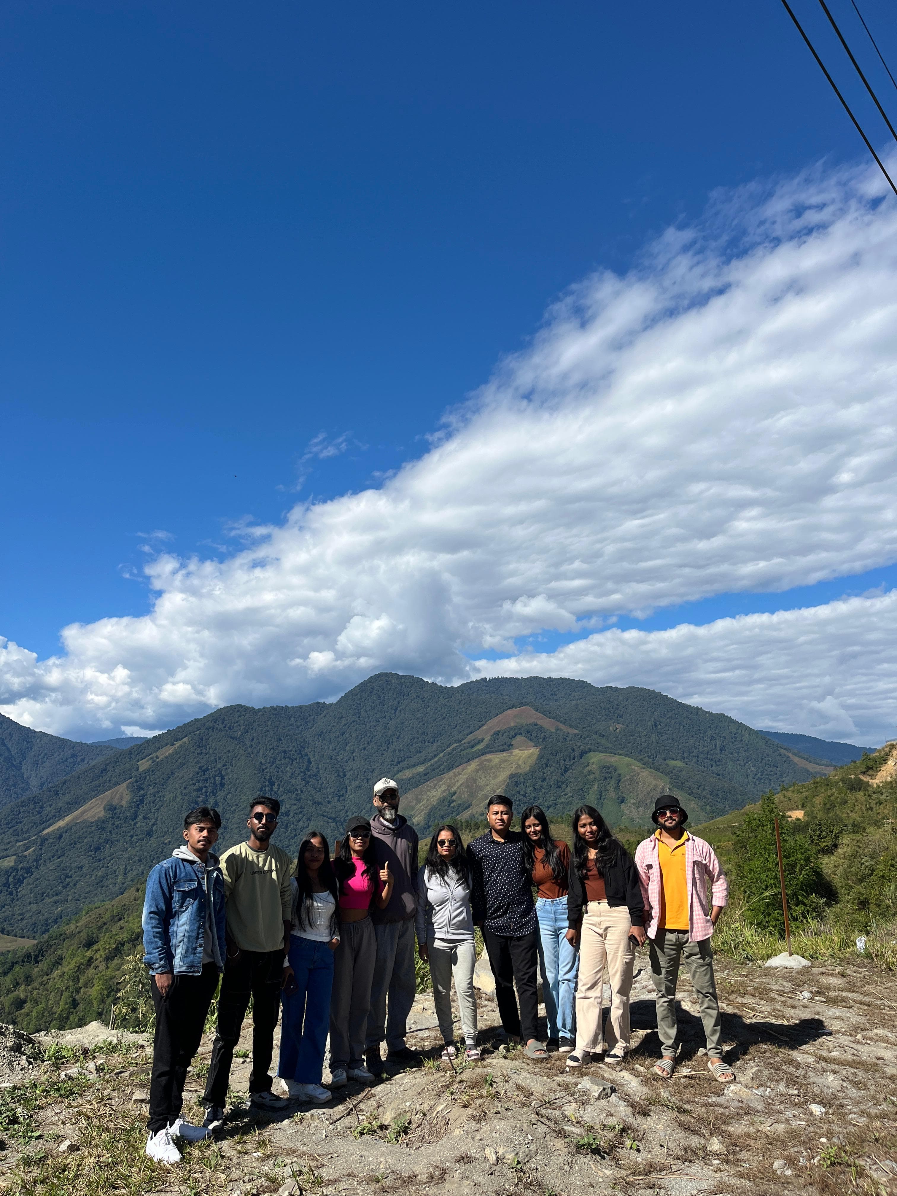
2,655 m of ridge between the low valley and the high one. Snow in winter, cloud in monsoon, prayer flags all year.
56 km above Roing · the hinge of NH-313

05 · The upper valleys
Dri & Pomo
Beyond Anini the road thins to a line. Dri Valley's river flats and Pomo's high grasslands are the far edge of the map.
Permit territory · guided only

06 · The people
Idu Mishmi Country
One of Arunachal's major tribes, keepers of the valley's forests and its strict conservation code. Villages here run on their own time.
Homestays · woven textiles · tiger taboo
One thread through everything
The river that draws the map
The Dibang begins in snow near the China border and falls two and a half vertical kilometres through the valley that carries its name. Everything here — every road, orchard, village and bridge — is arranged around where the river allows.
It is one of the last great undammed rivers in India. In Dambuk it is wide, pale and slow. Above Roing it narrows to white water. At Anini it is a mountain stream you can hear from the ridge. Follow it upstream and you have understood the whole region.
The whole valley, month by month
One calendar, two altitudes
Rest on any month — the strip below reads it for you, foothills and high valley side by side.
September
Possible with care
← this is now
The low valley · Dambuk & Roing
23–31 °C
Rain easing, land draining, skies opening
The high valley · Anini & Mayodia
6–13 °C
Roads reopen — festival month on the plateau
What we say
Festival season. Go with a crew that knows which stretches still weep.
Best windowGoodPossible with careMonsoon — avoid
The low valley and the high valley run on the same clock but different weather: when Mayodia is buried in snow, Dambuk is in harvest. We sequence every route so you get both at their best.
Before you travel
Common travel questions
What the whole region is, how it fits together, and how to do it right.
Ask our teamThe whole region, one plan
Do the valley properly
Orchards to plateau, one permit, one driver who knows every kilometre. Tell us your dates and how wild you want to go — we'll build the route.
Replies within hours, not days

